
Boundary/Lot Surveys
Precise property line determination using advanced GPS and laser technology for accurate boundary identification and legal property documentation.
At Anderson Land Surveying & Consulting, we understand that knowing the exact boundaries of your property is essential for protecting your investment, avoiding disputes, and ensuring compliance with local regulations. Our Boundary / Lot Surveys provide precise, legally recognized measurements so you can move forward with confidence.
What Is a Boundary Survey?
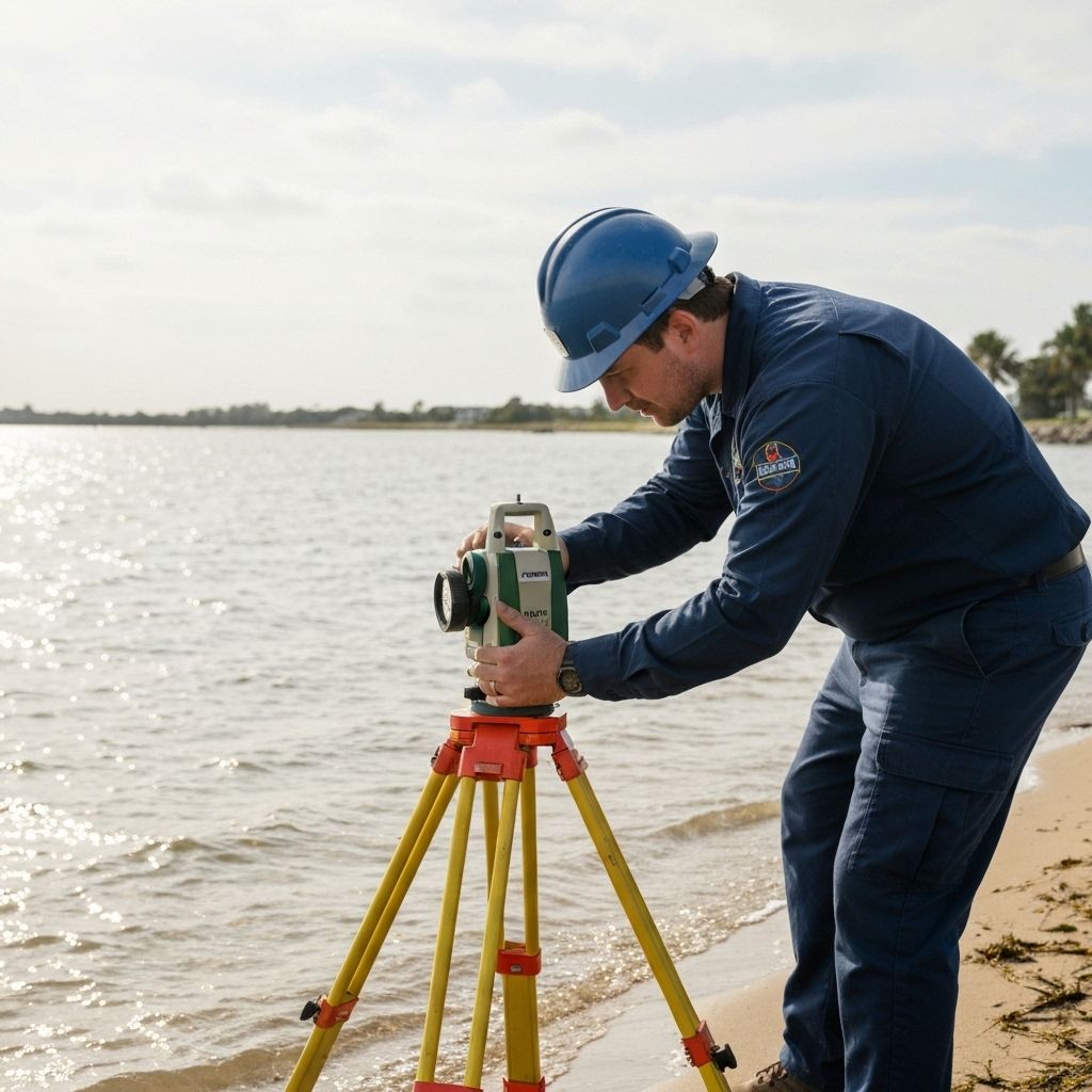
A boundary survey identifies the exact property lines and corners of a parcel of land. Using advanced technology and thorough research, we locate, measure, and mark property limits in accordance with deeds, plats, and public records.
This survey not only defines your property, but also helps resolve questions about ownership, easements, or potential encroachments.
When Do You Need a Boundary Survey?
- Before purchasing or selling property – Ensure what’s on paper matches what’s on the ground.
- Before construction – Prevent issues when building fences, walls, additions, or new structures.
- Resolving disputes – Settle questions of property ownership or encroachment with legally defensible documentation.
- Subdivisions or lot line adjustments – Required for splitting or combining parcels.
- Financing and title requirements – Many lenders and title companies request surveys to finalize transactions.
Our Process

Research & Records Review

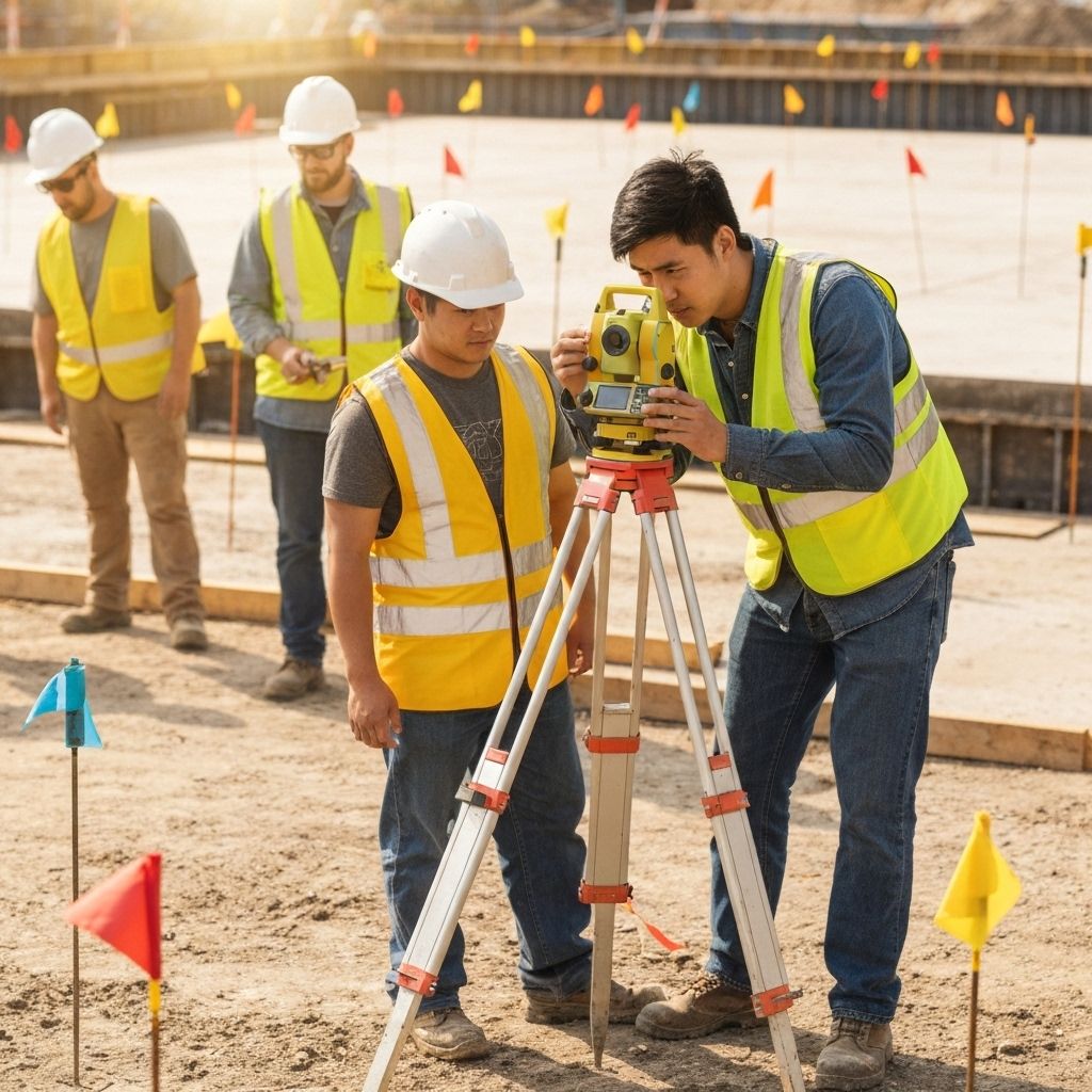
Field Measurements
Use of GPS, total stations, and precise instruments to locate existing markers and monuments.

Boundary Determination
Analysis of field data with legal records to define property lines.

Monumentation
Setting or restoring corner markers where necessary.

Survey Map & Report
Delivery of a detailed plat, legal description, and certified survey documentation.
Why Choose Anderson for Your Boundary Survey?
Working with Anderson Land Surveying & Consulting means you gain more than measurements — you gain peace of mind.
- Licensed Professionals – Surveys conducted by experienced, insured surveyors.
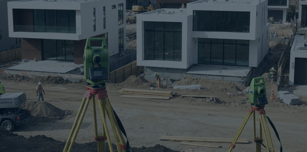
- Advanced Technology – GPS, CAD, and modern instruments for unmatched accuracy.
- Local Expertise – In-depth knowledge of county and municipal requirements.
- Clear Communication – Results explained in plain language, with deliverables tailored to your needs.
- Reliable Turnaround – On-time results that keep your project moving forward.

Get Started Today
Whether you’re buying property, preparing to build, or resolving a boundary question, trust the experts at Anderson Land Surveying & Consulting.
Contact us today to schedule your Boundary / Lot Survey.