
Frequently Asked Questions
At Anderson Land Surveying & Consulting, we believe every successful project begins with accurate information. For decades, we’ve been helping property owners, contractors, developers, and municipalities throughout San Diego County with professional land surveying services they can trust.
Our mission is simple: deliver precision, protect property rights, and provide peace of mind.
Who We Are
We’re a team of licensed and insured land surveyors dedicated to excellence in measurement, mapping, and consulting. From small residential lots to large-scale commercial developments, we bring the same level of care and accuracy to every project.
With deep roots in San Diego County, we understand the unique challenges of coastal, suburban, and rural properties — and we have the local knowledge to ensure compliance with city, county, and state requirements.

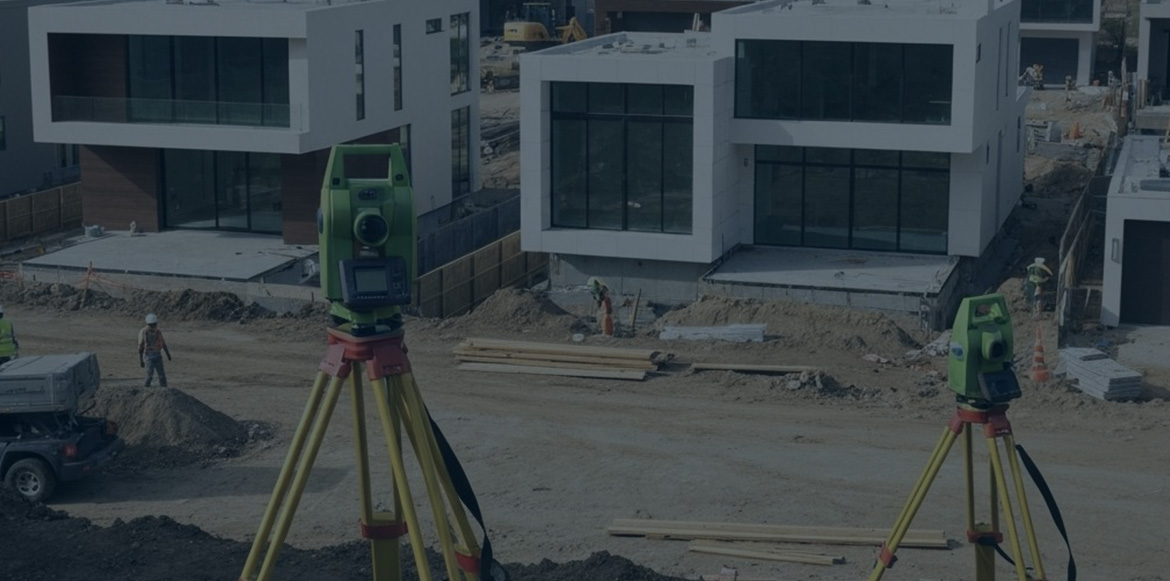
Our Services
Explore our full range of professional surveying services designed to meet your specific needs

Boundary / Lot Surveys
A boundary survey accurately defines property lines to protect your investment and prevent disputes.

Topographical Surveys
A topographic survey maps land features and elevations to support accurate site planning and design.

A.L.T.A. / A.S.C.M. Land Title Surveys
An ALTA/ACSM survey provides a detailed, standardized view of property boundaries and features for commercial real estate

Record of Surveys
A Record of Survey is an official county-filed map that legally documents property boundaries and changes

Corner Records
A Corner Record officially documents and preserves property corner markers for future reference

Legal Descriptions & Exhibits
We create accurate legal descriptions and exhibits defining property boundaries, easements, and rights-of-way.

As-Built Surveys
An as-built survey confirms construction matches approved plans, ensuring compliance and permit approval.

Civil Engineering Support
We supply survey data for grading, drainage, and utilities that integrates with engineering designs to streamline projects.

FEMA Certifications
We produce FEMA Elevation Certificates for flood zone properties to meet compliance and insurance requirements.

Construction Staking
Our staking services turn design plans into accurate on-site reference points for precise construction.
The Anderson Advantage
✔ Accuracy
We use state-of-the-art GPS, total stations, and laser scanning to deliver results with unmatched precision.
✔ Integrity
Every project is handled with honesty, transparency, and professionalism.
✔ Reliability
We respect deadlines and provide dependable service you can count on.
✔ Client-Focused
We don’t just provide data — we explain it clearly so you can make confident decisions.
What Sets Us Apart
- Decades of experience serving San Diego County
- Licensed, insured surveyors recognized for their expertise
- Advanced technology for detailed, efficient surveys
- Comprehensive services for residential, commercial, and municipal clients
- Proven track record of accuracy, communication, and on-time delivery
Hear From Our Clients
“Anderson Land Surveying made our property purchase stress-free. Their boundary survey was precise and delivered right on time.”
Laura B., Homeowner
“We’ve worked with Anderson on multiple developments. Their professionalism and accuracy make them a trusted partner.”
Carlos D., Developer
“They’re knowledgeable, reliable, and always go above and beyond. Highly recommend their team.”
Susan K., Contractor
Work With San Diego’s Trusted Surveyors
At Anderson Land Surveying & Consulting, we see ourselves as more than surveyors — we’re your partners in protecting property rights, planning projects, and building the future of San Diego County.