Professional Land Surveying Services
Precise, reliable, and professional surveying solutions for homeowners, contractors, developers, and municipalities. With state-of-the-art equipment and decades of combined expertise, our team delivers the accurate data you need to make confident decisions.
Our Services
Explore our full range of professional surveying services designed to meet your specific needs
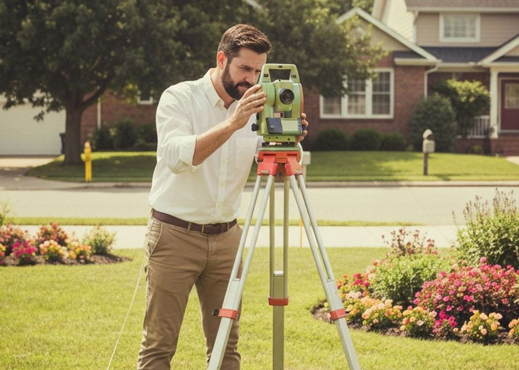
Boundary / Lot Surveys
Define your property lines with complete accuracy. Boundary surveys protect your investment, prevent disputes, and ensure compliance when buying, selling, or building.
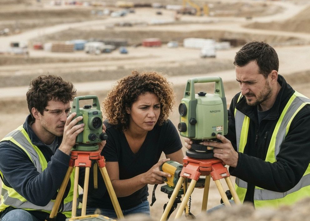
Topographical Surveys
Topographic surveys map the natural and built features of your land — including elevations, drainage, and structures — giving architects, engineers, and contractors the data they need for site planning and design.
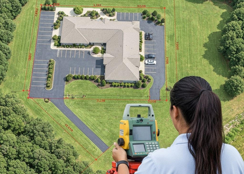
A.L.T.A. / A.S.C.M. Land Title Surveys
Required in many commercial real estate transactions, ALTA/ACSM surveys meet national standards and provide a complete view of property boundaries, easements, and improvements.

Record of Surveys
A Record of Survey is a formal map filed with the county that documents property boundaries, divisions, and adjustments. It provides a permanent, legally recognized record that protects ownership and supports future transactions or development.
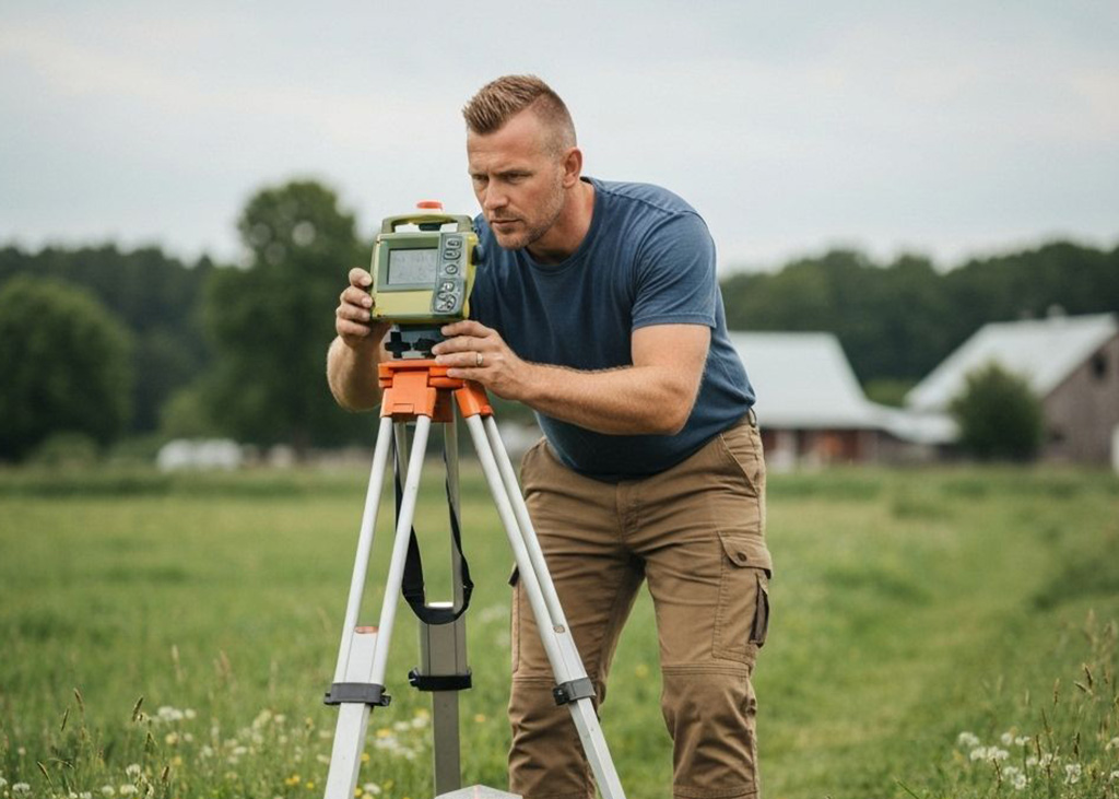
Corner Records
Corner Records document the establishment or restoration of property corners and boundary monuments. Filing a Corner Record ensures that your markers are officially recognized and preserved for future reference.

Legal Descriptions & Exhibits
We prepare precise legal descriptions and supporting exhibits that define property boundaries, easements, and rights-of-way — essential for deeds, contracts, and permits.
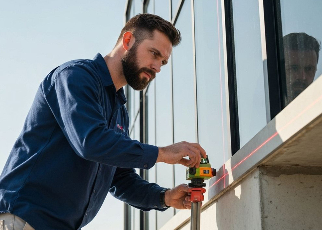
As-Built Surveys
An as-built survey verifies that completed construction matches approved plans and specifications. It’s critical for compliance, occupancy permits, and future renovation planning.
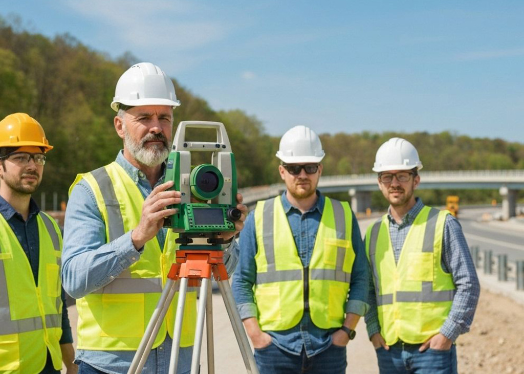
Civil Engineering Support
We provide survey data to support engineers and planners, including grading, drainage, and utility layouts. Our deliverables integrate seamlessly with engineering designs to streamline projects and reduce errors.
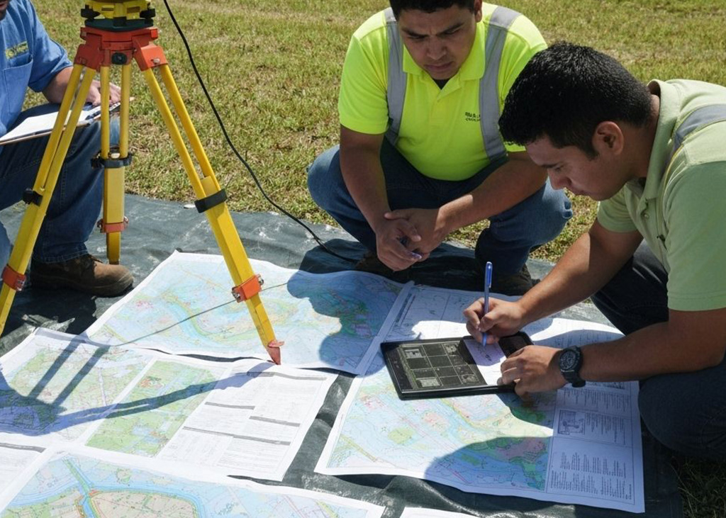
FEMA Certifications
For properties in or near flood zones, we prepare FEMA Elevation Certificates to meet insurance and compliance requirements and help property owners manage risk.

Construction Staking
Our staking services translate design plans into precise on-site reference points. From foundations and utilities to roads and curbs, we ensure construction is accurate and efficient.
Benefits of Working With Us
When you choose Anderson Land Surveying & Consulting, you gain more than a survey—you gain peace of mind and a trusted partner.

Licensed & Experienced Professionals
Our surveyors bring decades of expertise and maintain full licensing and insurance, giving you confidence that every project meets professional standards.

Unmatched Accuracy
We use advanced GPS, laser scanning, and CAD technology to deliver results with exceptional precision, reducing costly errors and delays.

Clear Communication
From the first consultation to final deliverables, we keep you informed, explain findings in plain language, and provide transparent timelines.

Local Knowledge, Regulatory Expertise
We understand the regional requirements and local codes, ensuring your project complies with county, state, and federal regulations.

Full-Service Capabilities
With a complete range of surveying services, we handle everything from small residential lots to complex commercial developments.

Reliable & Timely Delivery
We know projects move fast. That’s why we provide accurate results on schedule, so you can plan and build with confidence.

Why Choose Anderson Land Surveying & Consulting?
- Licensed & insured surveyors with decades of experience
- Proven accuracy backed by advanced GPS and laser technology
- Clear communication and dependable timelines
- Tailored solutions for residential, commercial, and municipal clients
Why Work With Us?
- Licensed, insured, and highly experienced surveyors
- Accuracy backed by advanced GPS, laser scanning, and CAD technology
- Comprehensive service for residential, commercial, and municipal projects
- A reputation for integrity, reliability, and clear communication
At Anderson Land Surveying & Consulting, accuracy isn’t just our goal — it’s our standard. Contact us today to discuss your project needs.

Get Started Today
Whether you’re buying property, preparing to build, or resolving a boundary question, trust the experts at Anderson Land Surveying & Consulting.
Contact us today to schedule your Boundary / Lot Survey.

